
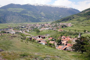
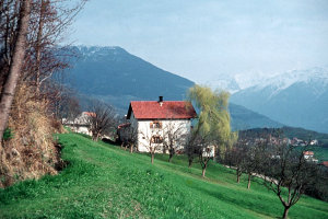
Tartsch (Mals im Hintergrund) (1902-1932 und 2008)

|
|
| © Autonome Provinz Bozen-Südtirol, Abt. 14, Amt für audiovisuelle Medien, Bestand Aloisia Ebner | © Christine Wanker |
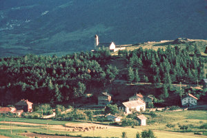
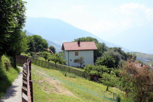
Tartsch mit dem Tartscher Bühel (1956-1967 und 2008)
|
|
| © Fotograf Anton Gruber | © Christine Wanker |
Am Waal mit Blick in Richtung Tartscher Bühel (1956-1967 und 2008)
|
|
| © Fotograf Anton Gruber | © Christine Wanker |
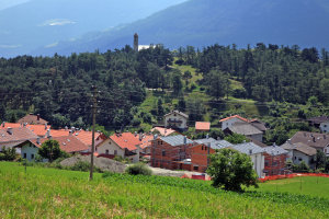
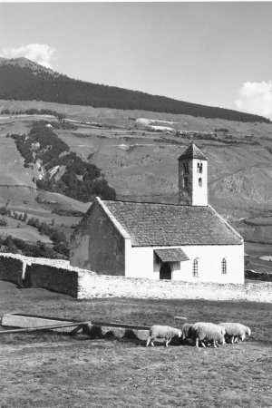
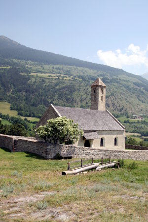
Tartscher Bühel (1950-1969 und 2008)
|
|
| © Autonome Provinz Bozen-Südtirol, Abt. 14, Amt für audiovisuelle Medien, Foto Elisabeth Fuchs-Hauffen, Überlingen | © Christine Wanker |
[ nach oben ]
© Universität Innsbruck | Impressum | Aktualisiert am: 22.12.2008