
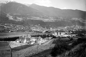
Die Stadt Brixen vom Hof Trunt aus gesehen (1902-1930 und 2007)
|
|
| © Autonome Provinz Bozen-Südtirol, Abt. 14, Amt für audiovisuelle Medien, Fotograf Leo Bährendt | © Christine Wanker |
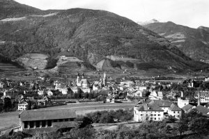
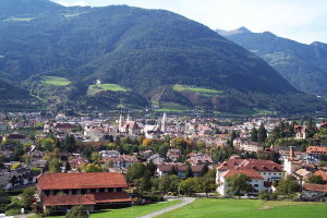
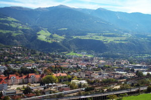
Die Stadt Brixen mit der Plose im Hintergrund (1920-1956 und 2007)
|
|
| © Südtiroler Landesarchiv Bozen, Planinschek Archiv | © Christine Wanker |
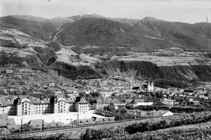
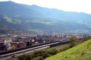
Brixen und das Mittelgebirge in Richtung Südosten (1920-1956 und 2007)
|
|
| © Südtiroler Landesarchiv Bozen, Planinschek Archiv | © Christine Wanker |
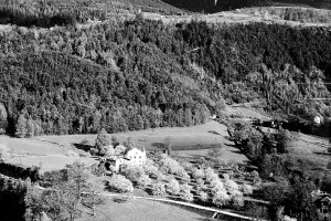
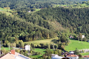
Blick auf den Ansitz Plabach mit Umgebung (1920-1956 und 2007)
|
|
| © Südtiroler Landesarchiv Bozen, Planinschek Archiv | © Christine Wanker |
[ nach oben ]
© Universität Innsbruck | Impressum | Aktualisiert am: 22.12.2008