Kulturlandschaftswandel in Südtirol seit 1950

Christine Wanker, Alexander Dusleag

Home > Geographie > Kls > Mals > Bilder Galerie > Fotos
Logo Projekt Kls Logo Provinz Bozen Logo Abteilung Natur und Landschaft

Seite: 1 2 3 4 5 6 7  >>

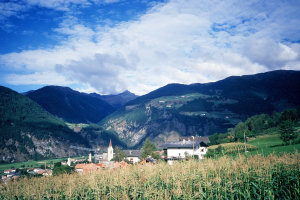
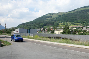
Blick auf Mals in Richtung Westen (nach 1960 und 2008)
Historisches Foto zoom
Aktuelles Foto zoom Point of View
© Fotograf Heinrich Habicher © Christine Wanker
Topographische Karte Fotostandort
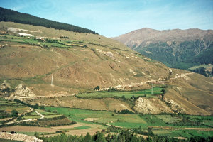
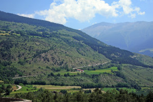
Lahnacker und Madatsch (1956-1967 und 2008)
Historisches Foto zoom
Aktuelles Foto zoom Point of View
© Fotograf Anton Gruber © Christine Wanker
Topographische Karte Fotostandort
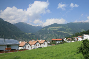
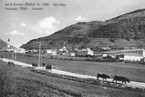
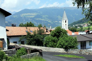
Mals (1920-1940 und 2008)
Historisches Foto zoom
Aktuelles Foto zoom Point of View
© Fotoarchiv Joachim Winkler © Christine Wanker
Topographische Karte Fotostandort
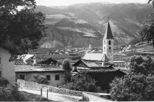
Tartsch (1902-1932 und 2008)
Historisches Foto zoom
Aktuelles Foto zoom Point of View
© Autonome Provinz Bozen-Südtirol, Abt. 14, Amt für audiovisuelle Medien, Fotograf Leo Bährendt © Christine Wanker
Topographische Karte Fotostandort

Seite: 1 2 3 4 5 6 7  >>

© Universität Innsbruck | Impressum | Aktualisiert am: 22.12.2008