
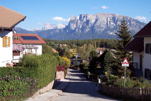
Panorama von Klobenstein mit Blick auf den Schlern (vor 1919 und 2007)
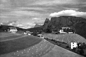
|
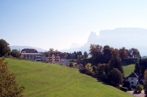
|
| © Fotoarchiv Ernst Baumgartner | © Christine Wanker |
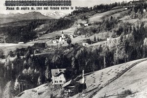
Blick von Klobenstein gegen Südosten (1950-1969 und 2007)
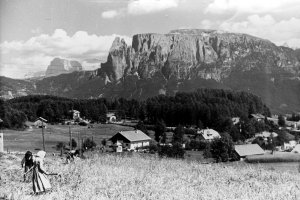
|
|
| © Autonome Provinz Bozen-Südtirol, Abt. 14, Amt für audiovisuelle Medien, Fotograf unbekannt | © Christine Wanker |
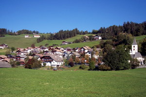
Blick auf Oberinn gegen Westen (1930er Jahre und 2007)
|
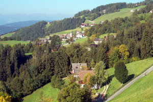
|
| © Fotoarchiv Ernst Baumgartner | © Christine Wanker |
Blick auf Oberinn gegen Norden (1939 und 2007)
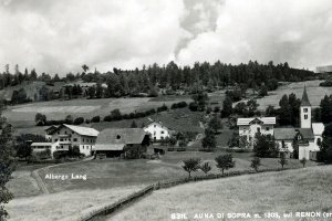
|
|
| © Fotoarchiv Ernst Baumgartner | © Christine Wanker |
[ nach oben ]
© Universität Innsbruck | Impressum | Aktualisiert am: 22.12.2008