
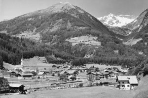
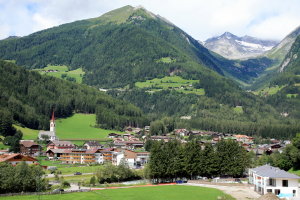
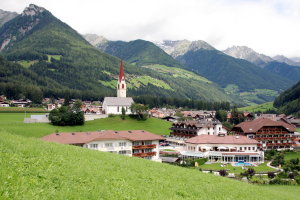
Luttach (1950-1969 und 2008)
|
|
| © Autonome Provinz Bozen-Südtirol, Abt. 14, Amt für audiovisuelle Medien, Foto Elisabeth Fuchs-Hauffen, Überlingen | © Christine Wanker |
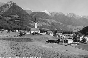
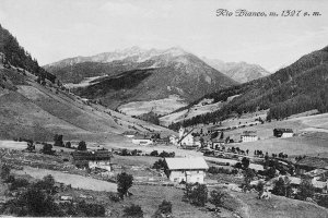
Luttach (1900-1939 und 2008)
|
|
| © Autonome Provinz Bozen-Südtirol, Abt. 14, Amt für audiovisuelle Medien, Bestand Aloisia Ebner | © Christine Wanker |
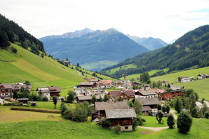
Weißenbach (1900-1939 und 2008)
|
|
| © Autonome Provinz Bozen-Südtirol, Abt. 14, Amt für audiovisuelle Medien, Bestand Aloisia Ebner | © Christine Wanker |
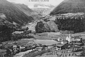
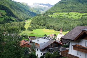
St. Johann (1900-1939 und 2008)
|
|
| © Autonome Provinz Bozen-Südtirol, Abt. 14, Amt für audiovisuelle Medien, Bestand Aloisia Ebner | © Christine Wanker |
[ nach oben ]
© Universität Innsbruck | Impressum | Aktualisiert am: 22.12.2008