
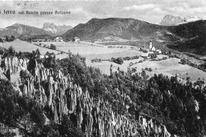
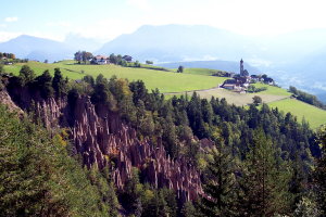
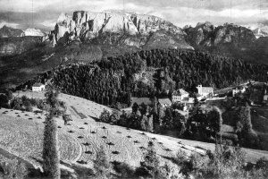
Die Erdpyramiden mit Mittelberg im Hintergrund (1920-1945 und 2007)
|
|
| © Fotoarchiv Ernst Baumgartner | © Christine Wanker |
Panorama von Maria Saal und Mittelberg gegen Südosten (1950-1960 und 2007)
|
|
| © Fotoarchiv Ernst Baumgartner | © Christine Wanker |
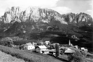
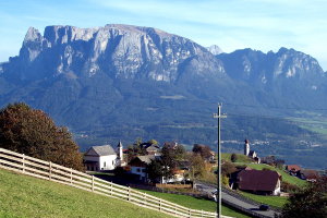
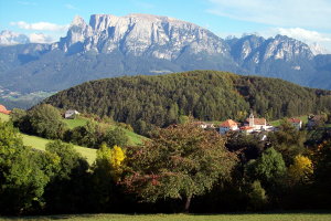
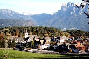
Blick auf Lengmoos mit dem Schlern im Hintergrund (vor 1919 und 2007)
|
|
| © Fotoarchiv Ernst Baumgartner | © Christine Wanker |
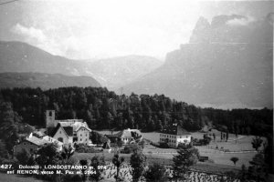
Panorama von Lengstein gegen Südosten (1920-1945 und 2007)
|
|
| © Südtiroler Landesarchiv Bozen | © Christine Wanker |
[ nach oben ]
© Universität Innsbruck | Impressum | Aktualisiert am: 22.12.2008