
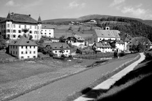
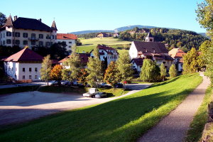
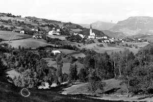
Das Dorf Lengmoos gegen Norden (1920-1928 und 2007)
|
|
| © Autonome Provinz Bozen-Südtirol, Abt. 14, Amt für audiovisuelle Medien, Fotograf Leo Bährendt | © Christine Wanker |
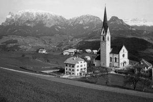
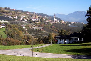
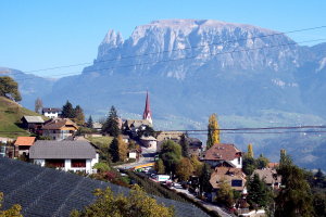
Panorama von Unterinn mit Pfarrkirche zur Hl. Lucia, gegen Schlern (links) und Rosengarten (rechts) (1950-1959 und 2007)
|
|
| © Autonome Provinz Bozen-Südtirol, Abt. 14, Amt für audiovisuelle Medien, Fotograf E. Pedrotti | © Christine Wanker |
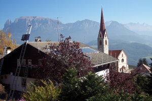
Panorama von Unterinn gegen Nordost (1930er Jahre und 2007)
|
|
| © Fotoarchiv Ernst Baumgartner | © Christine Wanker |
Blick vom Troidner Hof auf Unterinn gegen Osten (1910-1920 und 2007)
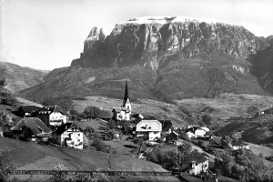
|
|
| © Fotoarchiv Ernst Baumgartner | © Christine Wanker |
[ nach oben ]
© Universität Innsbruck | Impressum | Aktualisiert am: 22.12.2008