
St. Ulrich mit Blick von der Scurcià Straße nach Osten (vor 1927 und 2007)
|
|
| © Felderer 1927 | © Christine Wanker |
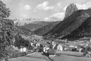
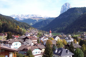
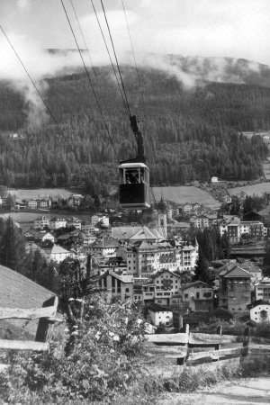
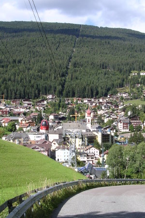
Panorama des östlichen Dorfteiles von St. Ulrich von Ronc (Gemeinde Kastelruth) aus gesehen (1950er und 2007)
|
|
| © Fotoarchiv Albert Moroder | © Christine Wanker |
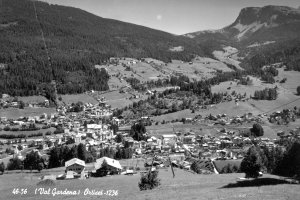
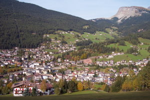
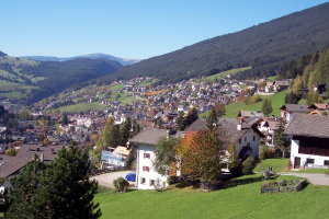
Blick vom Fussel de Rescion nach Norden auf das Zentrum von St. Ulrich (1950er Jahre und 2007)
|
|
| © Trenker 1957 | © Christine Wanker |
Blick vom Hof Poz gegen Westen (Anfang der 1960er Jahre und 2007)
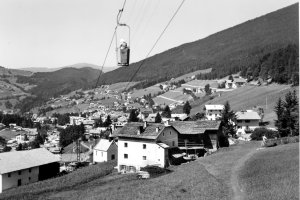
|
|
| © Autonome Provinz Bozen-Südtirol, Abt. 14, Amt für audiovisuelle Medien, Foto Ghedina | © Christine Wanker |
[ nach oben ]
© Universität Innsbruck | Impressum | Aktualisiert am: 22.12.2008