
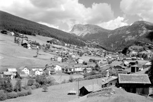
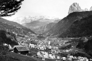
St. Ulrich in Richtung Nordosten mit dem Hof Cucheneies im Vordergrund (um 1930 und 2007)
|
|
| © Autonome Provinz Bozen-Südtirol, Abt. 14, Amt für audiovisuelle Medien, Fotograf Leo Bährendt | © Christine Wanker |
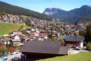
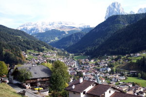
Ortszentrum von St. Ulrich nach Nordwest (um 1930 und 2007)
|
|
| © Autonome Provinz Bozen-Südtirol, Abt. 14, Amt für audiovisuelle Medien, Fotograf Leo Bährendt | © Christine Wanker |
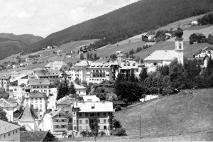
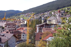
Blick vom Hof Jumbierch nach Osten (1909 und 2007)
|
|
| © Autonome Provinz Bozen-Südtirol, Abt. 14, Amt für audiovisuelle Medien, Fotograf Leo Bährendt | © Christine Wanker |
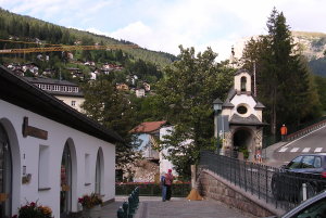
Die Gefallenenkapelle am Kirchplatz von St. Ulrich (Ende der 1930er Jahre und 2007)
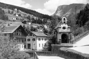
|
|
| © Autonome Provinz Bozen-Südtirol, Abt. 14, Amt für audiovisuelle Medien, Fotograf Leo Bährendt | © Christine Wanker |
[ nach oben ]
© Universität Innsbruck | Impressum | Aktualisiert am: 22.12.2008