
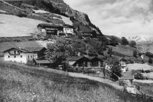
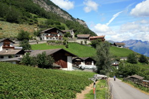
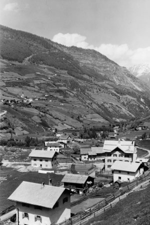
Höfe in Martell (1920-1933 und 2008)
|
|
| © Autonome Provinz Bozen-Südtirol, Abt. 14, Amt für audiovisuelle Medien, Fotograf Leo Bährendt | © Christine Wanker |
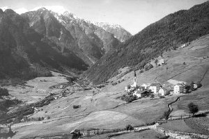
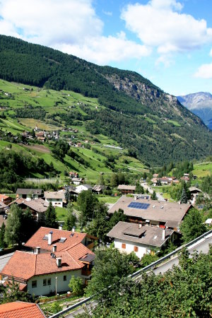
Meiern gegen Zufrittspitze (1920-1933 und 2008)
|
|
| © Autonome Provinz Bozen-Südtirol, Abt. 14, Amt für audiovisuelle Medien, Fotograf Leo Bährendt | © Christine Wanker |
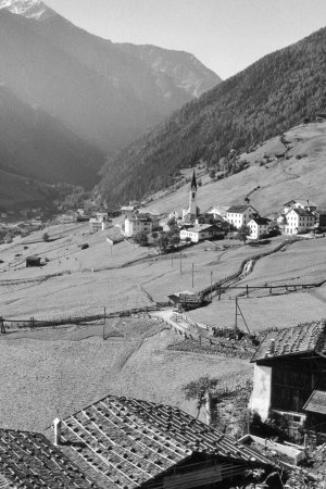
Gand mit Gasthof Martellerhof (1960-1979 und 2008)
|
|
| © Autonome Provinz Bozen-Südtirol, Abt. 14, Amt für audiovisuelle Medien, Foto Ghedina, Cortina | © Christine Wanker |
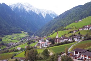
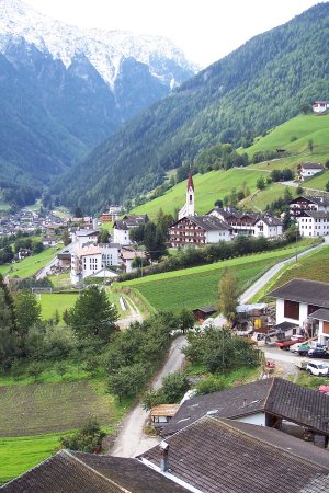
Meiern (1950-1969 und 2008)
|
|
| © Autonome Provinz Bozen-Südtirol, Abt. 14, Amt für audiovisuelle Medien, Foto Elisabeth Fuchs-Hauffen, Überlingen | © Christine Wanker |
[ nach oben ]
© Universität Innsbruck | Impressum | Aktualisiert am: 22.12.2008