
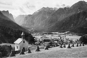
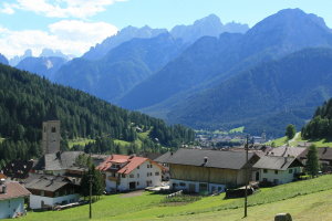
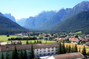
Toblach mit Blick gegen das Höhlensteintal (1902-1939 und 2008)
|
|
| © Autonome Provinz Bozen-Südtirol, Abt. 14, Amt für audiovisuelle Medien, Fotograf Leo Bährendt | © Christine Wanker |
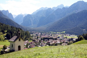
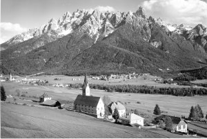
Wahlen mit Kirche zum Hl. Nikolaus (1902-1929 und 2008)
|
|
| © Autonome Provinz Bozen-Südtirol, Abt. 14, Amt für audiovisuelle Medien, Fotograf Leo Bährendt | © Christine Wanker |
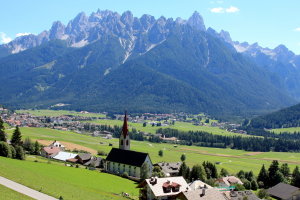
Aufkirchen mit Blick gegen Toblacher Feld und Neunerkopf (1950-1969 und 2008)
|
|
| © Autonome Provinz Bozen-Südtirol, Abt. 14, Amt für audiovisuelle Medien, Foto Ghedina, Cortina | © Christine Wanker |
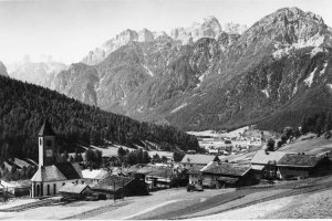
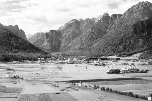
Toblacher Feld in Richtung Neu-Toblach (1902-1939 und 2008)
|
|
| © Autonome Provinz Bozen-Südtirol, Abt. 14, Amt für audiovisuelle Medien, Fotograf Leo Bährendt | © Christine Wanker |
[ nach oben ]
© Universität Innsbruck | Impressum | Aktualisiert am: 22.12.2008