| Basic data |
| Altitude | 767m |
| Population, 12/31/2013 | 3347 |
| Area | 125.0 km² |
| Settled area | 6.8 km² |
| Overnight stays of tourists 2009/2010 | 76930 |
| |
| Fact sheets |
|
Agriculture -
Population -
Tourism (time series) -
Tourism (enterprises) -
Sports facilities -
Economy -
Elections -
Area |
| |
| Natural environment |
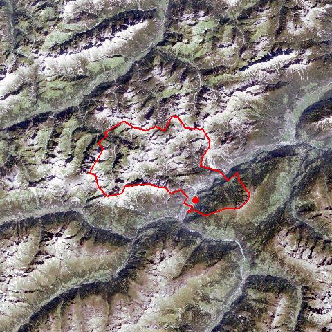
Satellite image (80x80km)
Altitude distribution
(help)
potential sunshine duration january till december
(3MB video -
legend)
Corine Land Cover
topographic map |
| |
| Neighbours |
| Bach, Fließ, Flirsch, Gramais, Grins, Imst, Kaisers, Landeck, Schönwies, Stanz bei Landeck, Strengen, Wenns |
| |
|
|
Zams, which stretches to the Lechtal, is situated within the Landecker Basin opposite the entrance to the Zammer Loch. After a devastating conflagration in 1911, Zams and Landeck formed an administrative unit till 1946. Its convenient location as regards transport infrastructure has made Zams a popular business location for small and medium-sized enterprises. The village is characterized by growing population figures and urban tendencies. Institutions operating within the district and region have their branches in Zams. The hamlet Kronburg with the pilgrimage church of Mariahilf and the ruins of a castle are from historical interest. |
|
|