Tirol Atlas Archive

^UP
Hippach (Tyrol) Wikipedia Link *
*
District: Schwaz
NUTS-3 area: Tiroler Unterland
Arms: None
Basic data
Altitude608m
Population, 12/31/20131416
Area39.3 km²
Settled area5.9 km²
Overnight stays of tourists 2009/2010239139
 
Fact sheets
Agriculture - Population - Tourism (time series) - Tourism (enterprises) - Sports facilities - Economy - Elections - Area
 
Natural environment
Satellite image (80x80km)
Altitude distribution (help)
potential sunshine duration january till december (3MB video - legend)
Corine Land Cover
topographic map
 
Neighbours
Fügenberg, Hainzenberg, Ramsau im Zillertal, Schwendau, Tux, Weerberg, Zell am Ziller, Zellberg
 
<-   ->
Foto
to view the images you need a dom-capable browser

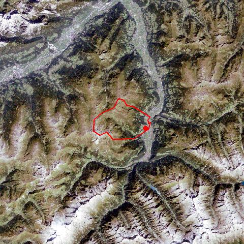
Hippach, west of the Ziller River, is situated in the upper Zillertal. It consists of the village of Hippach on a fan, south of which neighbouring Schwendau is adjoined and since 1973 another settlement on the fan of the Laim Torrent has been part of Hippach. The landscape of the Schwendberg Mountain and the Laimbacher- and Guggelberg Mountain north of it is characterized by numerous hamlets and detached farmhouses. The Zillertaler Höhenstraße Road - once built to gain access to the alpine pasture lands - starts at Schwendberg in the south. Today it is a very popular panorama road for tourists. Several small businesses can be found in the village.


Keyword search: