Tirol Atlas Archive

^UP
Vadena/ Pfatten (South Tyrol) Wikipedia Link *
*
NUTS-3 area: Bozen/Bolzano
Arms: None
Basic data
Altitude243m
Population, 12/31/20131032
Area13.5 km²
Settled area6.8 km²
Overnight stays of tourists 2009/201032972
 
Fact sheets
Agriculture - Population - Tourism (time series) - Tourism (enterprises) - Economy - Elections - Area
 
Natural environment
Satellite image (80x80km)
Altitude distribution (help)
potential sunshine duration january till december (3MB video - legend)
Corine Land Cover
topographic map
 
Neighbours
Auer/ Ora, Bolzano/ Bozen , Bronzolo/ Branzoll, Eppan an der Weinstraße/ Appiano sulla strada del vino, Kaltern an der Weinstraße/ Caldaro sulla strada del vino, Laives/ Leifers, Tramin an der Weinstraße/ Termeno sulla strada del vino
 
<-   ->
Foto
to view the images you need a dom-capable browser

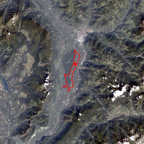
Pfatten, situated south of Bozen, stretches like a narrow ribbon 14 km due south on the right bank of the Etsch River. In former times the river was navigable till Pfatten. A ford as well as the starting point for the route over the Kreither Saddle on the Mitterberg to the Überetsch region, have made the village an important junction. Today Pfatten is well known for its agricultural college for fruit-growing and viniculture, the former Manor Laimburg, which was made into an agricultural and forest research centre in 1975, and the 1934 established mental home of Stadelhof. Pfatten is one of the few villages in the province with an Italian majority.


Keyword search: