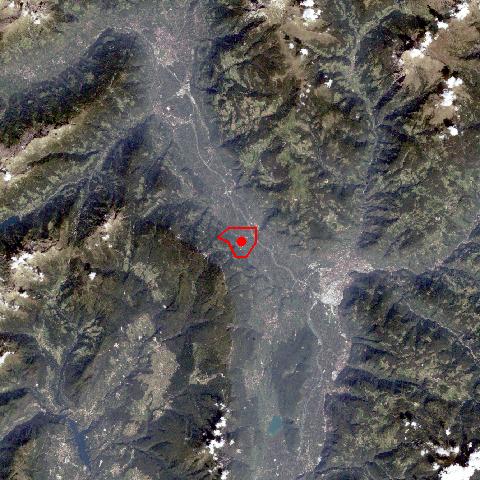
Andrian, one of the smallest villages in South Tyrol, is situated on the fan of the Gaider Torrrent, on the orographic right side of the river, in the centre of the Etschtal. Like in all villages in the Etschtal between Meran and Bozen with their mild climate, orchards dominate the cultural landscape. Vineyards are to be found only in close proximity to the villages. In former times the bottom of the Etschtal was characterized by floodplains and boggy lands, which were primarily used as pasture land and for the production of litter (reed). In the course of the railway construction by the end of the 19th century, the Etsch River was regulated and the land got meliorated, which led to today's landscape. |