Tirol Atlas Archive

^UP
Ampass (Tyrol) Wikipedia Link *
*
District: Innsbruck-Land
NUTS-3 area: Innsbruck
Arms: None
Basic data
Altitude736m
Population, 12/31/20131762
Area7.9 km²
Settled area3.6 km²
Overnight stays of tourists 2009/201010299
 
Fact sheets
Agriculture - Population - Tourism (time series) - Tourism (enterprises) - Sports facilities - Economy - Elections - Area
 
Natural environment
Satellite image (80x80km)
Altitude distribution (help)
potential sunshine duration january till december (3MB video - legend)
Corine Land Cover
topographic map
 
Neighbours
Aldrans, Hall in Tirol, Innsbruck, Rinn, Rum, Thaur, Tulfes
 
<-   ->
Foto
to view the images you need a dom-capable browser

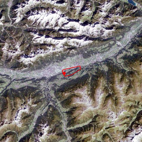
Ampass is situated south-east of Innsbruck, along the historic Salzstraße (salt road) from Hall to Matrei am Brenner. Prehistoric excavations, dating from 1800 years B.C., prove that the area around Ampass has been settled for a long period. In 1140, the village - then named "Ambans" - was first mentioned in a document. Since the end of World War II, Ampass has developed from a farming community into one of Innsbruck's several commuter suburbs. Along the road to Hall, near Sonnenbühel, you can find the most important historical wayside shrine from the late-Gothic period in North Tyrol, called 'Viertlsäule'.


Keyword search: