Tirol Atlas Archive

^UP
Namlos (Tyrol) Wikipedia Link *
*
District: Reutte
NUTS-3 area: Außerfern
Arms: None
Basic data
Altitude1225m
Population, 12/31/201385
Area28.8 km²
Settled area2.6 km²
Overnight stays of tourists 2009/20104881
 
Fact sheets
Agriculture - Population - Tourism (time series) - Tourism (enterprises) - Sports facilities - Economy - Elections - Area
 
Natural environment
Satellite image (80x80km)
Altitude distribution (help)
potential sunshine duration january till december (3MB video - legend)
Corine Land Cover
topographic map
 
Neighbours
Berwang, Imst, Reutte, Stanzach, Tarrenz
 
<-   ->
Foto
to view the images you need a dom-capable browser

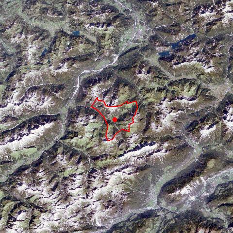
Namlos is situated in the Namlostal, east of the Lechtal, 10 km from Stanzach and can be reached on road nearly the whole year. The village consists of the small settlement of Namlos and the hamlet of Kelmen in a high valley, connecting the Namlostal and the Rotlechtal. Both settlements were founded by settlers from Imst. Namlos has experienced several waves of migration, especially after the "Namloser Beben" Earth Quake in 1930, which destroyed large parts of the village.


Keyword search: