| Basic data |
| Altitude | 698m |
| Population, 12/31/2013 | 3535 |
| Area | 45.9 km² |
| Settled area | 16.5 km² |
| Overnight stays of tourists 2009/2010 | 490246 |
| |
| Fact sheets |
|
Agriculture -
Population -
Tourism (time series) -
Tourism (enterprises) -
Sports facilities -
Economy -
Elections -
Area |
| |
| Natural environment |
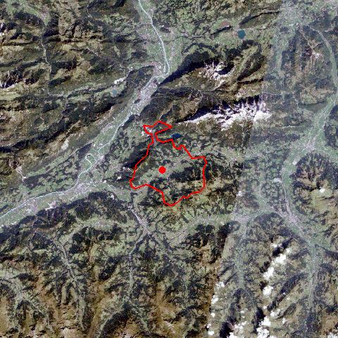
Satellite image (80x80km)
Altitude distribution
(help)
potential sunshine duration january till december
(3MB video -
legend)
Corine Land Cover
topographic map |
| |
| Neighbours |
| Bad Häring, Brixen im Thale, Ellmau, Hopfgarten im Brixental, Itter, Kirchbichl, Kufstein, Scheffau am Wilden Kaiser, Schwoich, Westendorf |
| |
|
|
Söll is situated within the wide valley of the Sölland region, which forms the border between the rugged ranges of the northern Limestone Alps and the gentle shale mountains of the Kitzbühler Alps. The former rural village with its 170 farms has become an upcoming centre for tourism. Due to its massive expansion, Söll already encompasses 25 villages and numerous scattered settlements with farmhouses in the typical Unterinntaler style. The bypass keeps traffic away from the historical centre, with its parish church St. Petrus and St. Paulus, which was built on a gravel fan in 1764. |
|
|