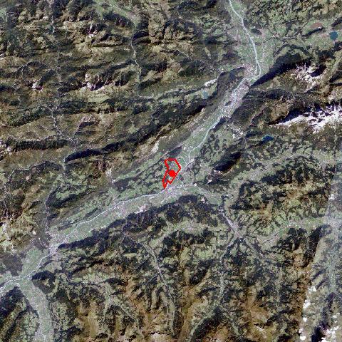
Angath, with its 3,5 km², is one of the smallest communities in the political district of Kufstein. Its development was characterized by its position on a low-lying gravel terrace next to the Inn River. In the 15th and 16th century Angath was one of the most important villages for the bateau shipping on the Inn River in the Tyrol and the bateaux building industry, the so called "Schopperhandwerk". Angath, a former farming community, is situated away from the main roads and forms together with Angerberg an independent parish. Today Angath, with its rural character and only some local companies, is an important commuter community for the nearby city of Wörgl. |