Tirol Atlas Archive

tiroLexikon

^UP

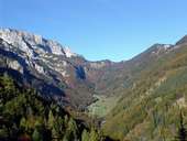
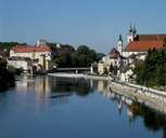
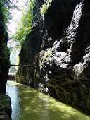
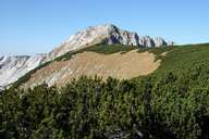
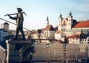
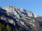
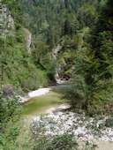
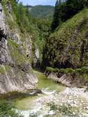
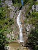
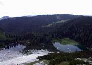
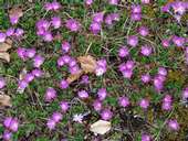
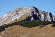
Galleria fotografica »Steyr-Kirchdorf«

Tirol Atlas image No.°10839
Sengsen Montagne, Alpeggio Blumauer
Tirol Atlas image No.°9304
Steyr, confluenza Steyr-Enns
Tirol Atlas image No.°10837
Gola Große Klause, Reichraminger Montagne
Tirol Atlas image No.°10841
Hoher Nock (1.963m), Sengsen Montagne
Tirol Atlas image No.°9303
Steyr, Michaelerkirche
Tirol Atlas image No.°10846
Sengsen Montagne
Tirol Atlas image No.°10838
Grande Torrente, Reichraminger Hintergebirge
Tirol Atlas image No.°10843
Gola "Große Schlucht", Rechraminger Hinter Montagne
Tirol Atlas image No.°10844
Cascata di Schleierfall, Reichraminger Hinter Montagne
Tirol Atlas image No.°10840
Feichtauer Lagi, Sengsen Montagne
Tirol Atlas image No.°10842
Primula clusiana
Tirol Atlas image No.°10845
Hoher Nock, Sengsen Montagne
it:Übersichtskarte
Carta topografica
   
Altri collegamenti: tiroLexikon