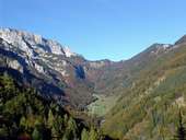
 Sengsenmountains, Blumauer Alpine Pasture
|
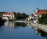 Steyr, confluence of Steyr and Enns
|
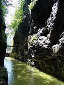 Gorge Große Klause, Reichraminger Mountains
|
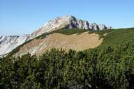 Hoher Nock (1.963m), Sengsenmountains
|
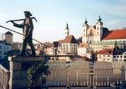 Steyr, Michaelerkirche
|
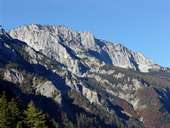 Sengsenmountains
|
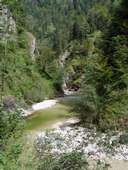 Big Stream, Reichraminger Hintermountains
|
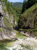 "Große Schlucht" Gorge, Rechraminger Hintermountains
|
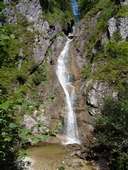 Schleierfall Cascate, Reichraminger Hintermountains
|
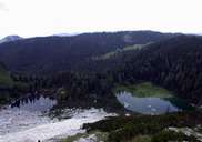 Feichtauer Lakes, Sengsenmountains
|
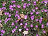 Primula clusiana
|
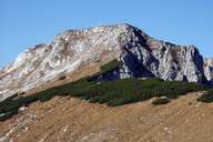 Hoher Nock, Sengsenmountains
|
 Topographic map
|
| | |