Tirol Atlas Archiv

tiroLexikon

^UP

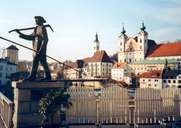
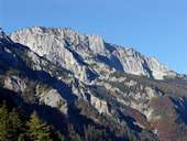
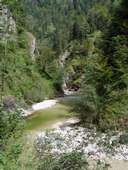
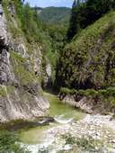
Bildersammlung »Steyr-Kirchdorf«

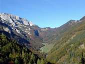
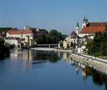
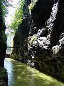
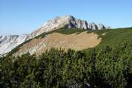
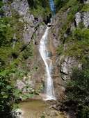
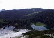
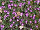
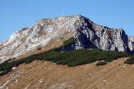
Die oberösterreichische Nuts-3-Region Steyr-Kirchdorf bietet Vielfalt - von der seit Jahrhunderten bekannten Waffenschmiede Steyr bis zum entwaffnend schönen Nationalpark Kalkalpen. Weiterlesen →

Tirol Atlas image No.°10839
Blumaueralm (762m) im Sengsengebirge
Tirol Atlas image No.°9304
Michaelerkirche Steyr (17.Jh.) am Zusammenfluss von Enns und Steyr
Tirol Atlas image No.°10837
Große Klause im Reichraminger Hintergebirge
Tirol Atlas image No.°10841
Latschenkiefern am Hohen Nock (1.963m) im Sengsengebirge
Tirol Atlas image No.°9303
Steyr, Michaelerkirche
Tirol Atlas image No.°10846
Sengsengebirge, Nordseite
Tirol Atlas image No.°10838
Großer Bach im Reichraminger Hintergebirge
Tirol Atlas image No.°10843
"Große Schlucht" im Rechraminger Hintergebirge
Tirol Atlas image No.°10844
Schleierfall im Reichraminger Hintergebirge
Tirol Atlas image No.°10840
Feichtauer Seen im Sengsengebirge
Tirol Atlas image No.°10842
Clusius-Primel oder Jagablut (lat. Primula clusiana)
Tirol Atlas image No.°10845
Hoher Nock, Sengsengebirge
Übersichtskarte
Topografische Karte
   
Weiterführende Links: Weblink »Wikipedia«, tiroLexikon