| Basic data |
| Altitude | 961m |
| Population, 12/31/2013 | 6958 |
| Area | 302.5 km² |
| Settled area | 28.5 km² |
| Overnight stays of tourists 2009/2010 | 121609 |
| |
| Fact sheets |
|
Agriculture -
Population -
Tourism (time series) -
Tourism (enterprises) -
Economy -
Elections -
Area |
| |
| Natural environment |
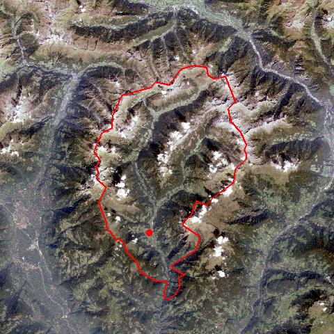
Satellite image (80x80km)
Altitude distribution
(help)
potential sunshine duration january till december
(3MB video -
legend)
Corine Land Cover
topographic map |
| |
| Neighbours |
| Franzensfeste/ Fortezza, Freienfeld/ Campo di Trens, Hafling/ Avelengo, Jenesien/ San Genesio Atesino, Klausen/ Chiusa, Mölten/ Meltina, Ratschings/ Racines, Ritten/ Renon, Sankt Leonhard in Passeier/ San Leonardo in Passiria, Schenna/ Scena, Vahrn/ Varna, Villanders/ Villandro, Vöran/ Verano |
| |
|
|
Sarntal has the largest surface area of all villages in South Tyrol. Sarntal consists of 28 villages, hamlets and isolated farmhouses. It encompasses the entire Sarntal, which stretches nearly 50 km from its entrance in the Bozner Basin to the Penser Joch Pass (passage to the Wipptal) in the north. The Talfer Torrent runs through the valley. Only the gorge-like lower part of the valley does not belong to Sarntal. The village starts at the road to Wangen/Ritten. The Sarntaler Alps surround the village in the shape of a horseshoe. The entances to the Penser and Durnholzer Tal are situated near Astfeld, after the expanding central village of Sarnthein (a.k.a. "the vilage"). |
|
|