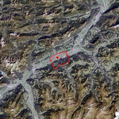
The market town of Kundl is situated on the fan of the Wildschönauer Ache River, which runs through the Kundler Gorge, in the Unterinntal region. The village stretches from the hamlet St. Leonhard with its gothic pilgrimage church to the hamlets Liesfeld and Möslbichl with protected wetlands, which are under threat by a nearby commercial and industrial area. The hamlet of Saulueg with its farms is situated on a terrace above the valley. Due to the development of commercial and industrial businesses since the 1950's, Kundl has become a centre of employment and attracts a great number of commuters in the region. Since the development of oral penicillin the pharmaceutical company of "Sandoz" has become one of the Tyrol's companies with international fame. |