Tirol Atlas Archive

tiroLexikon

^UP

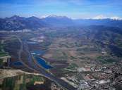
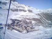
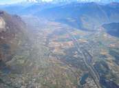
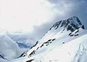
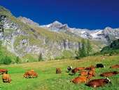
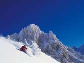
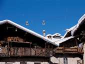
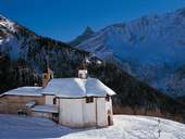
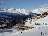
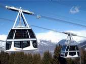
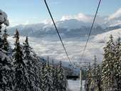
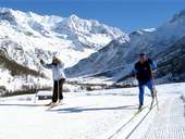
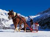
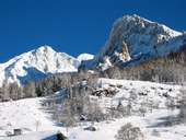
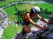
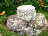
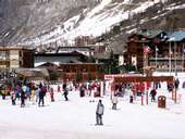
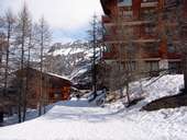
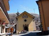
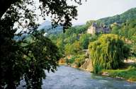
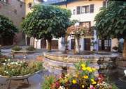
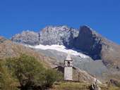
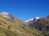
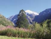
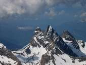
Galleria fotografica »Savoie«

Tirol Atlas image No.°11203
Pontcharra, Valle Isère
Tirol Atlas image No.°11381
Tignes (1.810m), Vanoise Montagne
Tirol Atlas image No.°11201
Saint-Pierre d'Albigny, Valle Isère
Tirol Atlas image No.°11240
Rocher d'Arguille (2.885m) , Belledonne
Tirol Atlas image No.°10349
Alpeggio - Peisey Vallandry
Tirol Atlas image No.°10354
Peisey Vallandry
Tirol Atlas image No.°10348
Commune di Peisey
Tirol Atlas image No.°10346
La Cappella Notre Dame des Vernette
Tirol Atlas image No.°10350
Zona sciistica - Peisey Vallandry
Tirol Atlas image No.°10347
Teleferica - zona sciistica Peisey Vallandry
Tirol Atlas image No.°10353
Zona sciistica Peisey Vallandry
Tirol Atlas image No.°10345
Sci di fondo della valle di Ponthurin
Tirol Atlas image No.°10356
Giro in slitta
Tirol Atlas image No.°10352
Peisey Vallandry
Tirol Atlas image No.°10351
Attività del tempo libero - Peisey Vallandry
Tirol Atlas image No.°10355
Specialità - Alpenkäse
Tirol Atlas image No.°10395
Grande Motte - Tignes
Tirol Atlas image No.°10399
Grand Motte - Tignes
Tirol Atlas image No.°10397
Bacino idricoTignes
Tirol Atlas image No.°10398
Zona sciistica Espace Killy
Tirol Atlas image No.°10396
Zona sciistica - Solaise
Tirol Atlas image No.°10394
Borgo - Val d'Isère
Tirol Atlas image No.°10402
Valloire
Tirol Atlas image No.°10983
Chateau de Manuel de Locatel, Albertville
Tirol Atlas image No.°10984
Place Fleurie de Conflans, Albertville
Tirol Atlas image No.°11039
Col de la Bessanèse (3.604 m)
Tirol Atlas image No.°11040
Col de la Bessanèse (3.604 m) e Ouille d'Aberon (3.554m)
Tirol Atlas image No.°11038
Pointe de Charbonnel (3.750m)
Tirol Atlas image No.°11202
Aiguilles d'Arves
Tirol Atlas image No.°11200
Chambéry
it:Übersichtskarte
Carta topografica
 
Altri collegamenti: Weblink »Wikipedia«, tiroLexikon