Tirol Atlas Archiv

tiroLexikon

^UP

Bildersammlung »Savoie«

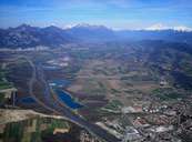
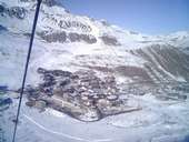
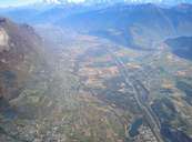
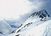
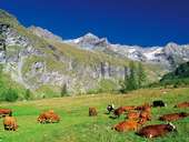
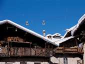
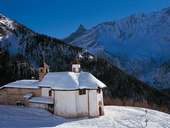
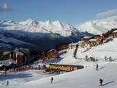
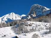
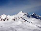
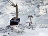
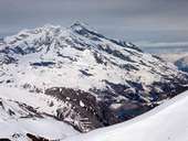
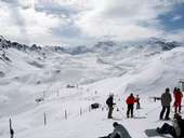
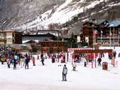
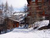
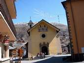
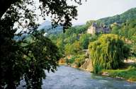
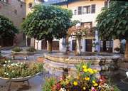
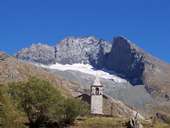
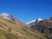
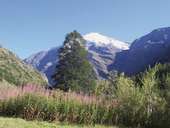
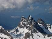
Savoie (Deutsch: Savoyen / Arpitanisch: Savouè d'Aval) ist ein Hochgebirgsland mit unvergleichbarer westalpiner Natur. Zusammen mit seinem Nachbarn Haute-Savoie teilt es außerdem ein reiches historisches Erbe. Weiterlesen →

Tirol Atlas image No.°11203
Pontcharra im Isèretal
Tirol Atlas image No.°11381
Retortenskiorten Tignes (1.810m) in der Vanoise
Tirol Atlas image No.°11201
Isèretal: Mündung der Arc in die Isère nahe Saint-Pierre d'Albigny
Tirol Atlas image No.°11240
Rocher d'Arguille (2.885m) in der Belledonne
Tirol Atlas image No.°10349
Almwiese bei Peisey Vallandry
Tirol Atlas image No.°10354
Tiefschneevergnügen
Tirol Atlas image No.°10348
Gemeinde Peisey
Tirol Atlas image No.°10346
Die Kapelle Notre Dame des Vernette
Tirol Atlas image No.°10350
Skigebiet Peisey Vallandry
Tirol Atlas image No.°10347
Gondelbahn im Skigebiet Peisey Vallandry
Tirol Atlas image No.°10353
Skigebiet Peisey Vallandry
Tirol Atlas image No.°10345
Langlaufen im Ponthurin Tal
Tirol Atlas image No.°10356
Schlittenfahrt
Tirol Atlas image No.°10352
Peisey Vallandry
Tirol Atlas image No.°10351
Klettern bei Peisey Vallandry
Tirol Atlas image No.°10355
Lokale Spezialität - Alpenkäse
Tirol Atlas image No.°10395
Grande Motte (3.656m) bei Tignes
Tirol Atlas image No.°10399
Gondel zum Grand Motte bei Tignes
Tirol Atlas image No.°10397
Blick auf den Stausee von Tignes
Tirol Atlas image No.°10398
Wintersportort Espace Killy
Tirol Atlas image No.°10396
Wintersportort Solaise im Val-d'Isère
Tirol Atlas image No.°10394
Weiler im Val d'Isère
Tirol Atlas image No.°10402
Kirche von Valloire
Tirol Atlas image No.°10983
Château de Manuel de Locatel in Albertville mit Fluss Arly
Tirol Atlas image No.°10984
Place Fleurie de Conflans in Albertville
Tirol Atlas image No.°11039
Col de la Bessanèse (3.604 m), Grenzkamm zu Torino
Tirol Atlas image No.°11040
Col de la Bessanèse (3.604 m) und Ouille d'Aberon (3.554m)
Tirol Atlas image No.°11038
Pointe de Charbonnel (3.750m)
Tirol Atlas image No.°11202
Aiguilles d'Arves
Tirol Atlas image No.°11200
Universitätscampus in Chambéry
Übersichtskarte
Topografische Karte
 
Weiterführende Links: Weblink »Wikipedia«, tiroLexikon