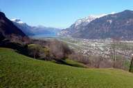
 Reuss Valley, near Altdorf
|
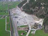 Erstfeld
|
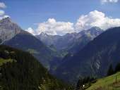 Klein Windgällen (2.986m), Düssi (3.256m) and Oberalpstock (3.327m)
|
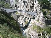 Old and New Bridge over the Schöllenen Gorge
|
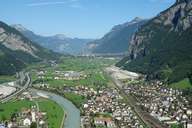 Erstfeld
|
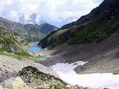 Untersee, Leutschachtal
|
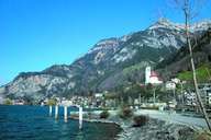 Flüelen
|
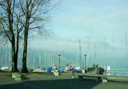 Flüelen - Port
|
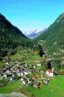 Wassen on the Gotthard route
|
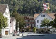 Tellspielhaus
|
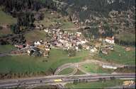 Wassen on the Gotthard route
|
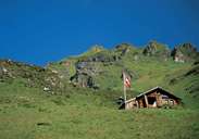 Alpine pasture, canton Uri
|
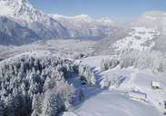 Altdorf in the wintertime
|
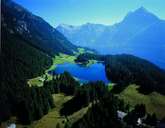 Arnisee
|
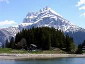 Arnisee, Großem Windgällen
|
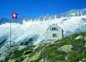 Dammahütte
|
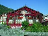 Adler, Bürglen
|
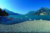 Isleten at Urnersee
|
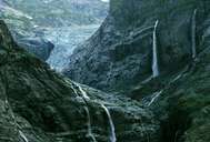 Maderanertal
|
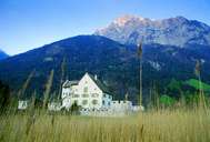 Schloss Apro
|
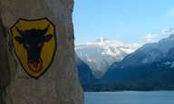 Uristier
|
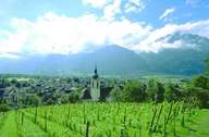 Altdorf
|
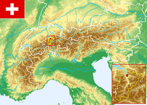 Topographic map
|
|