Tirol Atlas Archiv

tiroLexikon

^UP

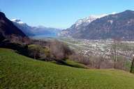
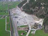
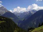
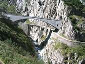
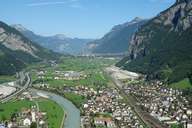
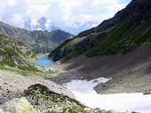
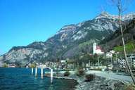
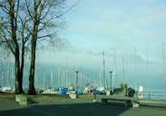
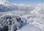
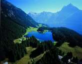
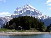
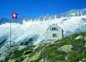
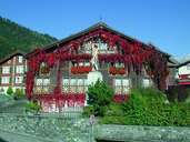
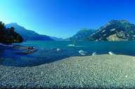
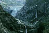
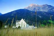
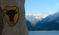
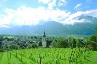
Bildersammlung »Uri«

In Altdorf begab es sich einst, dass ein Landvogt von Wilhelm Tell verlangte, einen Apfel vom Kopf des eigenen Sohnes zu schießen. Jener tat wie ihm geheißen, ein zweiter Bolzen aber galt dem Habsburger. Nationalstolz und Unabhängigkeitswillen prägen seither die Schweizer Seele. Weiterlesen →

Tirol Atlas image No.°11438
Siedlungsband im Reusstal um Altdorf
Tirol Atlas image No.°11153
Erstfeld - Bauarbeiten am Gotthard-Basistunnel
Tirol Atlas image No.°11426
Klein Windgällen (2.986m), Düssi (3.256m) und Oberalpstock (3.327m)
Tirol Atlas image No.°11395
Alte und neue Teufelsbrücke über die Schöllenenschlucht
Tirol Atlas image No.°11154
Erstfeld liegt inmitten der zwei Großbaustellen der NEAT für den Gotthard-Basistunnel
Tirol Atlas image No.°10894
Untersee im Leutschachtal
Tirol Atlas image No.°9273
Flüelen
Tirol Atlas image No.°9279
Flüelen - Segelhafen
Tirol Atlas image No.°9282
Wassen an der Gotthardbahn
Tirol Atlas image No.°9280
Tellspielhaus
Tirol Atlas image No.°9283
Wassen an der Gotthardbahn
Tirol Atlas image No.°9269
Alp im Kanton Uri
Tirol Atlas image No.°9275
Altdorf in der Reussebene am Urnersee
Tirol Atlas image No.°9271
Arnisee
Tirol Atlas image No.°10895
Arnisee mit Großem Windgällen (3.188m)
Tirol Atlas image No.°9272
Dammahütte
Tirol Atlas image No.°9268
Gasthaus Adler in Bürglen
Tirol Atlas image No.°9276
Isleten am Urnersee
Tirol Atlas image No.°9277
Maderanertal, ein rechtes Seitental des Reusstals
Tirol Atlas image No.°9278
Schloss Apro
Tirol Atlas image No.°9281
Uristier
Tirol Atlas image No.°9270
Altdorf
Übersichtskarte
Topografische Karte
 
Weiterführende Links: Weblink »Wikipedia«, tiroLexikon