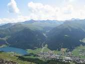
 Davos Dorf and Fluela Valley
|
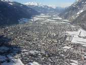 Chur, Rhein Valley
|
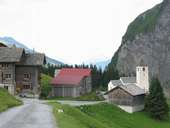 Surselva Safien, Thalkirch
|
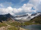 Grialetsch Glacier, Albula-Alps
|
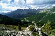 View into Fuorntal
|
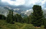 View from Buffalora into Val Nüglia, Ofenpass
|
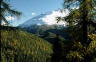 Spöltal
|
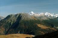 Munt la Schera, Ortler in the background
|
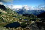 Lakes Macun, in Swiss National Park
|
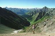 Val Trupchun in Oberengadin
|
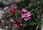 Daphne striata
|
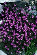 Saxifraga oppositifolia
|
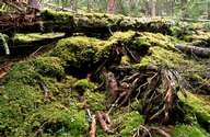 Unspoilt forest
|
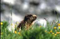 Marmota marmota
|
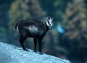 Chamois
|
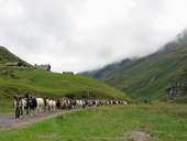 Goats near Vals
|
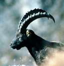 Ibex
Ibex
|
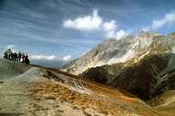 Margunet in the Ofenpass area
|
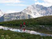 Alp Tomuel, Vals
|
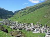 Vals
Vals
|
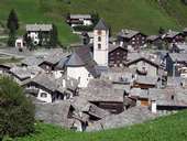 Vals
Vals
|
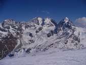 Piz Bernina (4094 m) mit Tschieva Glacier
|
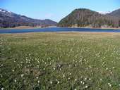 Lake Silverplanersee
|
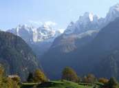 Bondasca Mountains
|
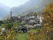 Soglio, Bergell
|
 Topographic map
|
| |