Tirol Atlas Archiv

tiroLexikon

^UP

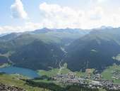
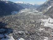
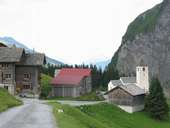
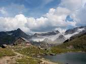
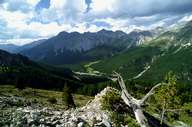
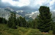
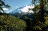
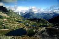
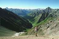
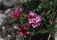
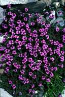
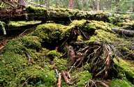
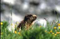
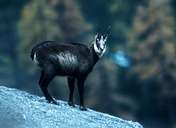
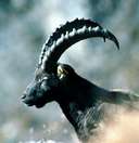
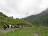
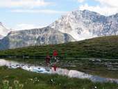
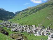
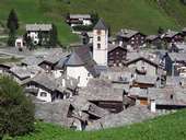
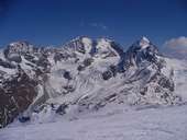
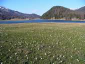
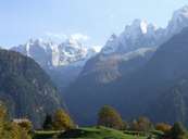
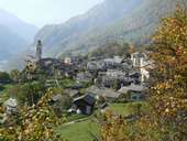
Bildersammlung »Graubünden/Grischun/Grigioni«

"Willkommen! Bainvegni! Benvenuti!" im einzigen Eidgenössischen Kanton mit drei Amtssprachen - Deutsch, Rätoromanisch und Italienisch. Weiterlesen →

Tirol Atlas image No.°10754
Davosersee und Davos Dorf (1.560m) im Landwassertal
Tirol Atlas image No.°11452
Chur im Rheintal
Tirol Atlas image No.°10756
Thalkirch im Safiental
Tirol Atlas image No.°10654
Grialetschhütte (2.542m) und Grialetschgletscher, Albula-Alpen
Tirol Atlas image No.°8945
Blick ins Fuorntal
Tirol Atlas image No.°8944
Blick von Buffalora in die Val Nüglia, Ofenpass
Tirol Atlas image No.°8941
Das Spöltal
Tirol Atlas image No.°8943
Der Munt la Schera, das Ortlermassiv im Hintergrund
Tirol Atlas image No.°8947
Die Seenplatte von Macun, seit 2000 im Nationalpark
Tirol Atlas image No.°8946
Die Val Trupchun im Oberengadin
Tirol Atlas image No.°8966
Seidelbast
Tirol Atlas image No.°8967
Gegenblättriger Steinbrech
Tirol Atlas image No.°8942
Unberührter Wald im Nationalpark
Tirol Atlas image No.°8968
Murmeltier
Tirol Atlas image No.°8969
Gämse
Tirol Atlas image No.°8970
Steinbock
Tirol Atlas image No.°10655
Ziegenherde bei Vals
Tirol Atlas image No.°8940
Margunet im Ofenpassgebiet
Tirol Atlas image No.°10653
Alp Tomuel, bei Vals
Tirol Atlas image No.°10652
Walsergemeinde Vals (1.252m) im Valser Rheintal
Tirol Atlas image No.°10656
Ortskern Vals
Tirol Atlas image No.°10899
Piz Bernina (4.094 m) - der höchste Berg der Ostalpen - mit dem Gletscher Vadret da Tschierva
Tirol Atlas image No.°10900
Silverplanersee
Tirol Atlas image No.°11029
Bondasca Berge
Tirol Atlas image No.°11028
Soglio im Bergell
Übersichtskarte
Topografische Karte
  
Weiterführende Links: Weblink »Wikipedia«, tiroLexikon