Tirol Atlas Archive

tiroLexikon

^UP

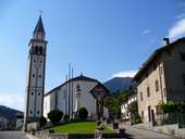
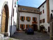
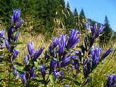
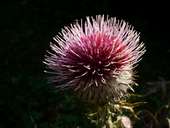
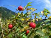
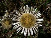
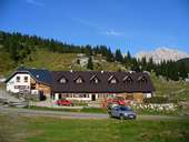
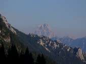
Image collection »Udine«

Tirol Atlas image No.°10226
Forest near Colrotondo
Tirol Atlas image No.°10228
New Railway Lines in the Kanaltal Valley
Tirol Atlas image No.°9870
Givigliana (1.124m) at Monte Crostis (2.250m)
Tirol Atlas image No.°11499
Palmanova
Tirol Atlas image No.°9863
Rigolato
Tirol Atlas image No.°9879
Torrente Pontaiba near Treppo Carnico
Tirol Atlas image No.°9875
Erosion
Tirol Atlas image No.°9880
Mieli and Comeglians
Tirol Atlas image No.°10241
Noiaretto
Tirol Atlas image No.°10236
State of Mary
Tirol Atlas image No.°9881
Ligosullo
Tirol Atlas image No.°9876
Paularo
Tirol Atlas image No.°9874
Cercivento di Sopra
Tirol Atlas image No.°10246
Albergo Regina delle Alpi in Paularo
Tirol Atlas image No.°10231
Gentian
Tirol Atlas image No.°10250
Thistle
Tirol Atlas image No.°10249
dog rose (lat.: Rosa canina)
Tirol Atlas image No.°10244
Thistle
Tirol Atlas image No.°10247
Cason di Lanza
Tirol Atlas image No.°9878
View towards Triglav
Tirol Atlas image No.°9882
Pontebba and Torrente Pontebbana
Tirol Atlas image No.°9884
Torrente Pontebbana
Tirol Atlas image No.°10230
The new motorway A23 Udine-Tarvisio in the Kanaltal
Tirol Atlas image No.°10240
Usnizza - Kanaltal
Tirol Atlas image No.°10245
Camporosso - Kanaltal
Tirol Atlas image No.°9883
Highway near Tarvisio
Tirol Atlas image No.°10242
Cycle Path Alpe Adria in Tarvisio
Tirol Atlas image No.°9877
Salars
Tirol Atlas image No.°10234
Mangart - 2679m
Tirol Atlas image No.°10233
Porcino
Tirol Atlas image No.°9947
Aquilea, cathedral
Tirol Atlas image No.°9951
Aquilea, forum
Overview map
Topographic map
   
Further links: Weblink »Wikipedia«, tiroLexikon