Tirol Atlas Archiv

tiroLexikon

^UP

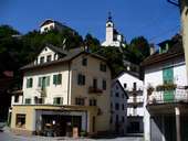
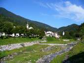
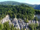
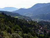
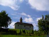
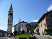
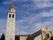
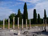
Bildersammlung »Udine«

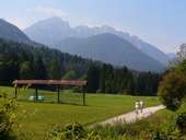
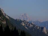
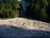
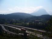
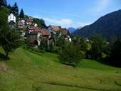
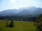
Vom Monte Coglians/Hohe Warte (2.780m) - dem höchsten Punkt der Karnischen Alpen - fällt der Blick auf die Provinz Udine am Dreiländereck Österreich-Slowenien-Italien. Weiterlesen →

Tirol Atlas image No.°10226
Wald Colrotondo und Breitkofel (1.988m) in den Julischen Alpen
Tirol Atlas image No.°10228
Neue Eisenbahnanlage im Kanaltal
Tirol Atlas image No.°9870
Givigliana (1.124m) am Monte Crostis (2.250m)
Tirol Atlas image No.°11499
Palmanova, eine Planstadt mit sternförmigem Grundriss (16.Jh.)
Tirol Atlas image No.°9863
Rigolato
Tirol Atlas image No.°9879
Bachbett der Pontaiba nahe Treppo Carnico
Tirol Atlas image No.°9875
Erosionsform im Wald
Tirol Atlas image No.°9880
Mieli und Comeglians
Tirol Atlas image No.°10241
Noiaretto
Tirol Atlas image No.°10236
Marienverehrung
Tirol Atlas image No.°9881
Ligosullo
Tirol Atlas image No.°9876
Paularo
Tirol Atlas image No.°9874
Cercivento di Sopra
Tirol Atlas image No.°10246
Albergo Regina delle Alpi in Paularo
Tirol Atlas image No.°10231
Enzian
Tirol Atlas image No.°10250
Distel
Tirol Atlas image No.°10249
Hagebutte
Tirol Atlas image No.°10244
Silberdistel
Tirol Atlas image No.°10247
Cason di Lanza
Tirol Atlas image No.°9878
Blick auf den Triglav
Tirol Atlas image No.°9882
Pontebba und Torrente Pontebbana
Tirol Atlas image No.°9884
Torrente Pontebbana
Tirol Atlas image No.°10230
Die neue Autobahn A23 Udine-Tarvisio im Kanaltal
Tirol Atlas image No.°10240
Lusnizza im Kanaltal
Tirol Atlas image No.°10245
Camporosso im Kanaltal
Tirol Atlas image No.°9883
Autobahn bei Tarvisio
Tirol Atlas image No.°10242
Radweg Alpe Adria in Tarvisio
Tirol Atlas image No.°9877
Salars
Tirol Atlas image No.°10234
Mangart - 2679m
Tirol Atlas image No.°10233
Steinpilze
Tirol Atlas image No.°9947
Basilika mit Campanile in Aquileia (ab 2.Jh.n.Chr.)
Tirol Atlas image No.°9951
Aquilea, Forum
Übersichtskarte
Topografische Karte
   
Weiterführende Links: Weblink »Wikipedia«, tiroLexikon