Tirol Atlas Archive

tiroLexikon

^UP

Image collection »Überetsch-Südtiroler Unterland/ Oltradige-Bassa Atesina«

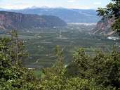
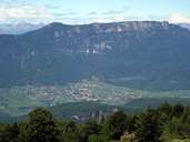
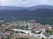
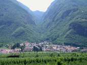
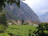
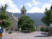
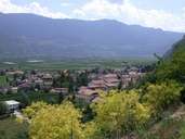
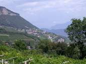
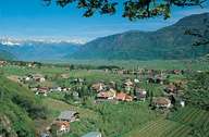
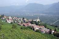
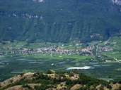
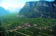
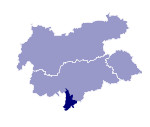
The district community of Überetsch-Sudtiroler Unterland with its administrative seat in Neumarkt includes the communities of the Etschtal south of Nals and those of the Oberetsch on the slopes west of the Etsch. Before the regulation of the river the Etschtal was marshy and burst its banks regularly. Only after its drainage was permanent settlement and land cultivation into an extensive fruit and wine-growing area possible. Wines such as the Gewürztraminer or the Kalterer See, named after the warmest alpine lake, are now known internationally. Along the wine route lie popular tourist towns such as Tramin, Kaltern and Eppan. The eastern side of the Etsch includes Salern, Neumarkt, Auer, Branzoll and Leifers, the youngest town in South Tyrol. The many castles and fortifications bear witness to the fact that people were also interested in this region far earlier. The southern boundary of the district community, the Salerner Klause, a very narrow stretch of valley, also forms the border between South Tyrol and the Trentino. Due to the proximity to the language border some communities are characterised by a majority of Italian-speakers.
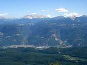
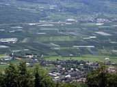
Tirol Atlas image No.°8313
Eppan and The basin of Bolzano
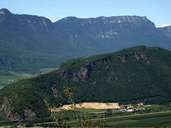
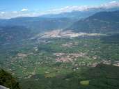
Tirol Atlas image No.°8309
View of Kaltern and the Etschtal
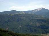
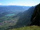
Tirol Atlas image No.°8296
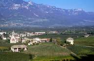
Etsctal between Auer e Bolzano
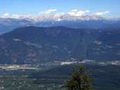
Tirol Atlas image No.°8293
Überetsch (Kaltern) with Mendelpass and Penegal
Tirol Atlas image No.°6342
Leifers
Tirol Atlas image No.°6338
Branzoll
Tirol Atlas image No.°8294
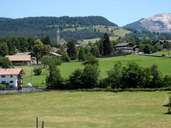
Aldein
Tirol Atlas image No.°6393
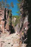
Ravine of Bletterbach near Aldein
Tirol Atlas image No.°6319
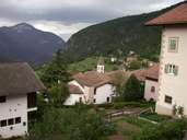
Truden
Tirol Atlas image No.°2190
District Vill, Neumarkt
Tirol Atlas image No.°6383
Salurn
Tirol Atlas image No.°6358
Kurtinig
Tirol Atlas image No.°6354
Margreid
Tirol Atlas image No.°6352
Kurtatsch, viniculture
Tirol Atlas image No.°8303
Kaltern and Kalterer See
Tirol Atlas image No.°8301
District St. Paul, Eppan
Tirol Atlas image No.°5092
district St. Pauls, Eppan
Tirol Atlas image No.°6336
Pfatten
Tirol Atlas image No.°6208
Andrian
Tirol Atlas image No.°6193
Kurtatsch, overlooking the Etschtal
Tirol Atlas image No.°8292
Tramin
Tirol Atlas image No.°6210
Kurtinig in the middle of the bottom of the Etschtal
Tirol Atlas image No.°8305
Montiggler Seen, Regglberg and in the background the Latemar group
Tirol Atlas image No.°8298
Mitterberg and Mendelkamm
Tirol Atlas image No.°8285
View from Altenburg/Kaltern to the plateau of Aldein
Tirol Atlas image No.°8304
Regglberg and the Rosengarten
Tirol Atlas image No.°8286
The Etschtal between Tramin and Neumarkt
Overview map
Topographic map
Further links: Hazards Chronicle Tyrol, Weblink »Wikipedia«, Weblink »Überetsch-Südtiroler Unterland/ Oltradige-Bassa Atesina«, tiroLexikon