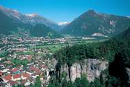
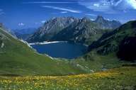
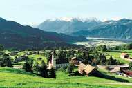
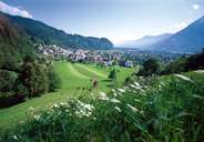
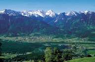
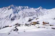
Image collection »Bludenz«
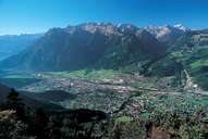
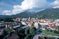
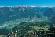
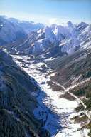
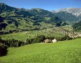
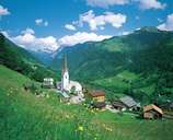
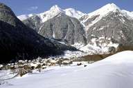
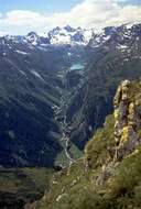
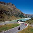
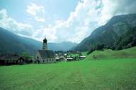
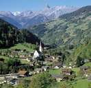
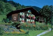
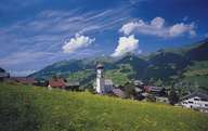
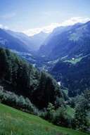
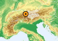
The district of Bludenz is made up of the Klostertal, Montafon, Großes Walsertal, Brandner Tal and Walgau at the intersection of which the district capital of Bludenz was established. The economic upswing of the town took place at the beginning of the 19th century through the textile industry. There is an important transport connection to the Tyrol through the Klostertal and further over the Arlbergpass. The construction of the Westbahn railway and the Arbergstraße road were a decisive factor in the permanent settlement of the valley that offers unfavourable natural prerequisites due to high rainfall and the steep valley sides that are often dissected by gorges. At the Schesatobel close to Bludenz one can see the biggest existing mudflow basin in Europe. The climatically favourable Montafon, a farming area and region where a great deal of land division as a result of inheritance laws has taken place, has now found new earning possibilities through tourism. The Große Walsertal, also dependent on tourism, is a gorge-like valley without a valley floor and is the largest connected settlement area in the Walser. UNESCO has designated the valley a biospheric reserve. The Walgau, drained by the Ill, is marked by pasture farming as a sideline occupation. However, farming is being continually replaced by industry. One of the most famous industries is the Suchard chocolate factory in Bludenz. The whole district is marked by numerous reservoirs that are run by the Vorarlberger Illwerke.
