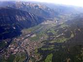
 Panorama of Schwaz and the Inntal Valley
|
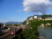 Fortress of Kufstein, with Railway Line, Inntal Valley
|
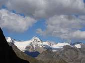 Hochfeiler (3509 m), Zillertaler Alps
|
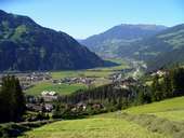 Hainzenberg, Zillertal Valley
|
 Maukspitze, Kaisergebirge Mountains
|
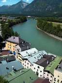 Rattenberg and Inn
|
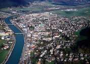 Schwaz
|
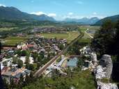 Tiroler Unterland near Radfeld
|
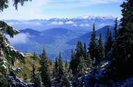 Wildschönau from the Schatzberg
|
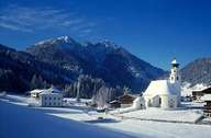 Thierbach, Wildschönau in winter
|
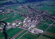 Kundl
Kundl
|
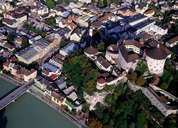 Kufstein
|
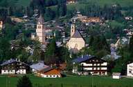 Kitzbühel
|
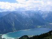 Achensee
|
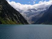 Schlegeisspeicher
|
 Palm Sunday, Weerberg
|
 Decorating Cattle, End of Summer Season
|
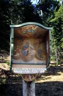 Brandenberg Aschau
|
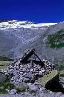 Zamser Grund, Finkenberg
|
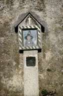 Cemetery in Mils
|
 Niederau
|
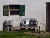 Zillertal
|
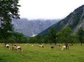 Ahornboden
|
 Topographic map
|