Tirol Atlas Archiv

tiroLexikon

^UP

Bildersammlung »Tiroler Unterland«

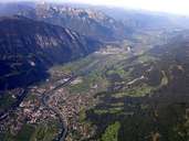
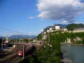
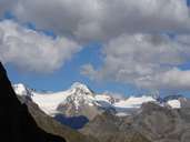
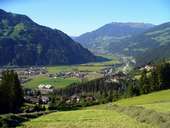
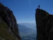
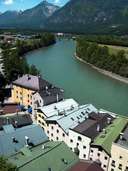
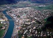
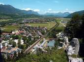
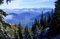
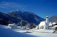
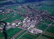
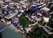
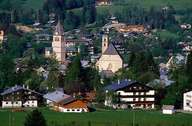
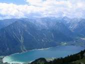
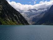
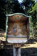
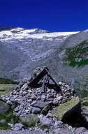
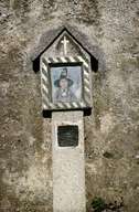
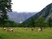
Die Nuts-3-Region Tiroler Unterland präsentiert sich mit betriebsamen Talräumen, intensiv touristisch genutzten Berglandschaften und unverfälschter Hochgebirgsnatur in einmaliger Schönheit. Weiterlesen →

Tirol Atlas image No.°7560
Inntal zwischen Schwaz und Jenbach
Tirol Atlas image No.°10957
Inn zwischen Bahntrasse und Festung Kufstein (ab 12.Jh.)
Tirol Atlas image No.°9129
Hochfeiler (3.509m) in den Zillertaler Alpen
Tirol Atlas image No.°10586
Blick von Hainzenberg über das Zillertal
Tirol Atlas image No.°11229
Tiefenblick von der Maukspitze (2.231m) im Kaisergebirge ins Leukental
Tirol Atlas image No.°8188
Rattenberg am Inn
Tirol Atlas image No.°5955
Schwaz
Tirol Atlas image No.°8183
Tiroler Unterland bei Radfeld
Tirol Atlas image No.°4215
Wildschönau vom Schatzberg aus
Tirol Atlas image No.°4944
Thierbach in der Wildschönau
Tirol Atlas image No.°5798
Kundl
Tirol Atlas image No.°5795
Altstadt von Kufstein mit Festung
Tirol Atlas image No.°5228
Kitzbühel
Tirol Atlas image No.°11228
Achensee
Tirol Atlas image No.°9153
Schlegeisspeicher
Tirol Atlas image No.°3785
Binden von Palmbuschen zur Osterzeit in Weerberg
Tirol Atlas image No.°3740
Schmücken einer Kuh zum Almabtrieb
Tirol Atlas image No.°3378
Brandenberg Aschau
Tirol Atlas image No.°3407
Finkenberg Zamser Grund
Tirol Atlas image No.°3469
Mils Friedhof
Tirol Atlas image No.°3594
Wand mit Sterbebildern in Niederau
Tirol Atlas image No.°10587
Zillertal
Tirol Atlas image No.°9142
Ahornboden
Übersichtskarte
Topografische Karte
Weiterführende Links: Weblink »Wikipedia«, tiroLexikon