Image collection »Rofangebirge«
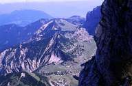
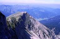
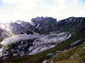
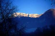
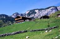
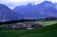
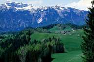
The Rofangebirge is located between Lake Achensee, the Inntal and the Bavarian Voralpen (pre-Alps). The Rofanspitze (2259 m) lends its name to the mountain chain. The highest peak is the Hochiss (2299 m). However, the usual division into the Rofanstock, east of the Achensee, and the Sonnwendgebirge chain close to the Bavarian border, is not in keeping with the classification of the Alpenverein (Alpine Association).
|
|
|
|
|
|
|
|
Further links: Hazards Chronicle Tyrol, Weblink »Wikipedia«