Image collection »Pflerscher Tal«
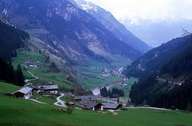
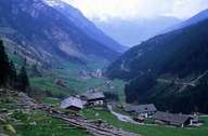
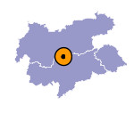
The Pferscher Tal belongs to the village of Brenner. It stretches from Gossensass in the upper Eisacktal to the Stubaier Alpen. The geological composition is characterized by the Pferscher limestone intrusion, which is well visible in the Tribulaun. Despite its altitude the valley has a mild climate. This mild climate is caused on the one hand by the high massifs in the north, which block the cold winds from the north and on the other hand by the gentle slopes in the south, which enable the mild winds from the south to reach the Pflerscher Tal. Mining has already taken place in prehistoric times in this 16 km long valley. Several ways starting in the upper part of the valley - Innerpflersch - link the valley with the Ridnauner Tal, which's character is also stamped by mining.

|

|
|
