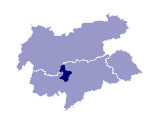
Image collection »Passeiertal«
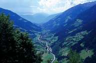
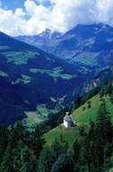
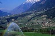
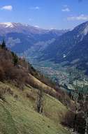
The 50 km long Passeiertal, through which the Passer runs, starts at Timmelsjoch and ends near Meran in the Etschtal. Till St. Leonhard the upstream of the Passer is gorge-like. Further down the valley has a flat bottom till Obermais, where it forms a deep slope again. From St. Leonhard further upstream the settlements of Stuls, Platt, Ulfas and Breitenbach are situated on terraces 400 m above the bottom of the valley. Only Moos, at the entrance of the Pfelderer Tal, is situated on the valley's bottom. The summits stretching on either side of the valley reach heights of up to 2700 m. Settlements can be found up to an elevation of 2000 m). The valley's economy is based on agriculture (fruit-growing, cattle breeding), transport on the route from Meran over the Jaufen to Sterzing and of course on tourism.
|
|
|
|
|
|
