Image collection »Gröden«
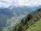
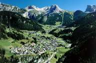
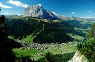
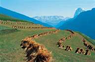
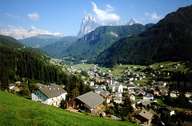
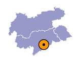
Gröden is a 25 km long tributary valley on the left side of the Eisacktal. It stretches from Waidbruck to the Sellastock and the mountain passes of Sella- and Grödnerjoch. The three Ladinic villages of St. Ulrich, St. Christina and Wolkenstein lie within the valley of Gröden. The valley is part of the 102000 hectare large Puez-Geißler nature reserve. The basis of the Dolomites in this area consists of porphyry and quartz phyllit. On this layer lies a 300 m thick layer of Grödner sandstone, which is a product of erosion, which took place over million of years under a desert like environment. Because of the relation between the agricultural output and the relatively high population density in the valley, land was cultivated up to high mountain regions. Since the 16th century carving has become an important source of income for the people in the valley. Because of the boom in the carving sector in the 19th century, stone pines, which provided the carvers with timber for their products, had to be protected. Today the main source of income is tourism.
