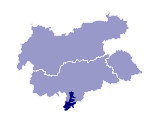
Image collection »Bozner Unterland«
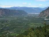
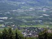
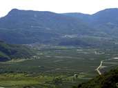
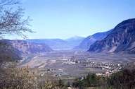
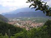
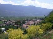
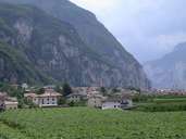
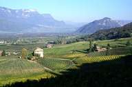
The Bozner Unterland stretches from Bozen to Salurn in the south on either side of the river Etsch. Orchards and vineyards dominate the western side of the valley. The other side has been dominated by traffic routes since ancient times. Due to a good infrastructure based on traffic several business and industrial enterprises have established themselves here. Only since the regulation of the Etsch in the years between 1879 and 1896 the floodplains one has been able to use them for intensive agriculture. Before the regulation this land was only used for extensive pastures for sheep. The land reclaimed in the course of the river regulation was divided among the farmers of the villages. The village of Pfatten is the only exception. Here, single farms were built on the newly reclaimed land, which are leased by tenants from the Trentino from the land owners. This is one reason - among the fact that Pfatten was the terminal of the navigation on the Etsch - why the proportion of Italians among the population has always been high, even before World War I.
|
|
|
|
|
|
|
|
|
|
