Image collection »Wipptal«
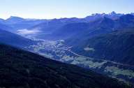
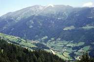
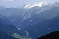
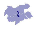
The Wipptal runs from the narrow valley of the Silltal between Matrei and Schönberg in the north and over the Brenner to the narrow valley of the Eisacktal at Mittewald, north of Franzensfeste in the south. The primary characteristic of this north-south running valley are the numerous side valleys which run in a west-east or east-west direction. The most important settlements: Matrei, Steinach, Gossensass and Sterzing are located in basins and broader valley stretches at the exits of these side valleys. The settlements normally take the form of scattered villages on the slopes but also on the terraces that run alongside the valley. The prominent peaks to the west of the Wipptal are formed by the limestones of the so-called Brenner Mesozoic that here overlies the dominant crystalline gneisses of the Zentralalpen. The indivisible cultural and natural landscape on both sides of the Brenner, whose watershed is hardly noticeable in the short high valley, explains the common description as Wipptal.

|

|

|
|
