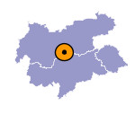
Image collection »Gschnitztal«
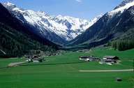
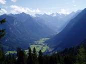
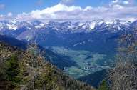
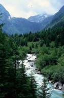
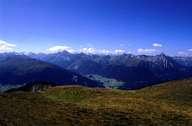
With a scarcely developed valley terrace the Gschnitztal runs into the Wipptal at Steinach. The sunny side at the foot of the Blaser with the village of Trins has gentle slopes with terraces and is suitable for arable farming. The river valley with its groupings of farms in Gschnitz has an even valley floor and is surrounded by the steep escarpments of famous mountain peaks such as the Habicht or the Kirchdachspitze that are made up of crystalline gneisses or the limestones of the Brenner Mezozoic. The clearly-defined moraine embankment behind Trins is an important witness of post ice age activity.
|
|
|
|
|
|
Further links: Hazards Chronicle Tyrol
