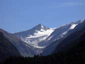
 Großvenediger, 3.666 m
|
 Circuit lines in Pinzgau
|
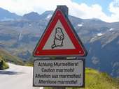 Großglockner Hochalpenstraße
|
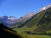 Fuscherkarkopf (3.331m) and Hohe Dock (3.348m)
|
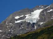 Fuscher Eiskar
|
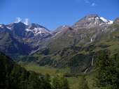 Fuscherkarkopf und Hohe Dock
|
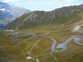 Großglockner Hochalpenstraße view to the north
|
 Fuscher Törl - Großglockner Hochalpenstraße
|
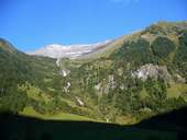 Schneespitze, 3317 m
|
 Krumlkeeskopf, 3101 m and Weißenbachkees
|
 Obersulzbachtal with Venedigergruppe
|
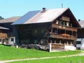 Farm in the Oberpinzgau
|
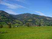 Piesendorf
|
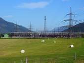 Power station Kaprun
|
 Uttendorf in the wintertime
|
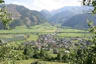 Uttendorf
|
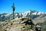 Spielmann 3.027 m
|
 Dam Kaprun
|
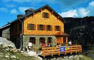 St. Pöltener Hütte
|
 Topographic map
|