Tirol Atlas Archiv

tiroLexikon

^UP

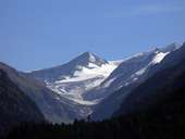
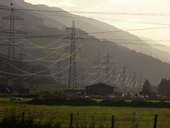
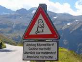
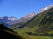
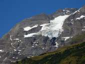
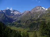
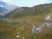
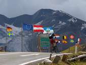
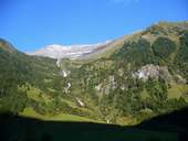
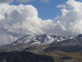
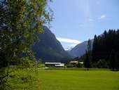
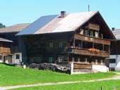
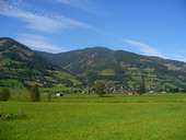
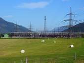
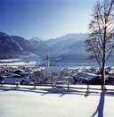
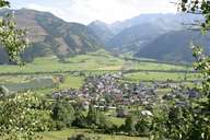
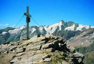
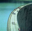
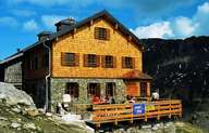
Bildersammlung »Pinzgau-Pongau«

Kein geringerer als Carl Zuckmayr selbst verlieh der Region Pinzgau-Pongau einst die Bezeichnung als "ein Stück vom Paradies". Weiterlesen →

Tirol Atlas image No.°9747
Großvenediger (3.666m)
Tirol Atlas image No.°9769
Stromleitungen im Pinzgau, nahe Kaprun
Tirol Atlas image No.°9748
Außergewöhnliches Verkehrsschild an der Großglockner Hochalpenstraße
Tirol Atlas image No.°9767
Fuschertal mit Fuscherkarkopf (3.331m) und Hoher Dock (3.348m)
Tirol Atlas image No.°9754
Fuscher Eiskar
Tirol Atlas image No.°9749
Fuscherkarkopf und Hohe Dock
Tirol Atlas image No.°9755
Großglockner Hochalpenstraße Richtung Norden
Tirol Atlas image No.°9766
Fuscher Törl - Großglockner Hochalpenstraße
Tirol Atlas image No.°9762
Schneespitze, 3317 m
Tirol Atlas image No.°9757
Krumlkeeskopf, 3101 m und Weißenbachkees
Tirol Atlas image No.°9770
Obersulzbachtal mit Venedigergruppe
Tirol Atlas image No.°9765
Oberpinzgauer Hof
Tirol Atlas image No.°9752
Piesendorf
Tirol Atlas image No.°9763
Kraftwerk Kaprun
Tirol Atlas image No.°9306
Uttendorf
Tirol Atlas image No.°9305
Uttendorf
Tirol Atlas image No.°9319
Spielmann 3.027 m
Tirol Atlas image No.°9320
Staumauer Kaprun
Tirol Atlas image No.°9321
St. Pöltener Hütte
Übersichtskarte
Topografische Karte
Weiterführende Links: Weblink »Wikipedia«, tiroLexikon