Tirol Atlas Archive

^UP
Unterperfuss (Tyrol) Wikipedia Link *
*
District: Innsbruck-Land
NUTS-3 area: Innsbruck
Arms: None
Basic data
Altitude596m
Population, 12/31/2013220
Area2.2 km²
Settled area1.3 km²
Overnight stays of tourists 2009/20103446
 
Fact sheets
Agriculture - Population - Tourism (time series) - Tourism (enterprises) - Sports facilities - Economy - Elections - Area
 
Natural environment
Satellite image (80x80km)
Altitude distribution (help)
potential sunshine duration january till december (3MB video - legend)
Corine Land Cover
topographic map
 
Neighbours
Grinzens, Kematen in Tirol, Oberperfuss, Ranggen, Zirl
 
<-   ->
Foto
to view the images you need a dom-capable browser

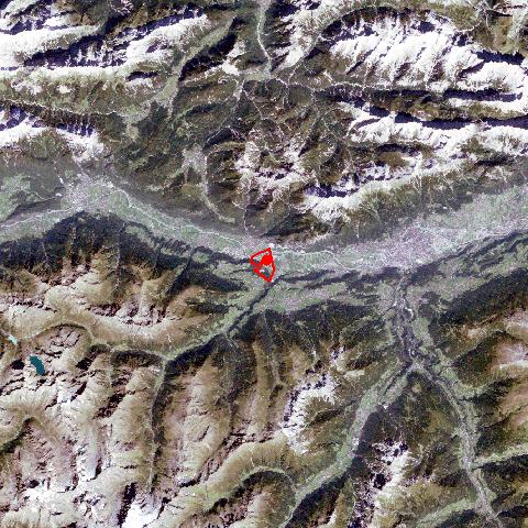
Unterperfuss is situated opposite of the market town of Zirl. Unterperfuss became an administrative independent village in 1832. With its 2,2 km² surface area and the scanty number of population, Unterperfuss belongs to the smallest villages in the Tyrol. The Melach River, which runs through the Sellraintal, forms the natural border to neighbouring Kematen. The strong impact of the agricultural sector is best reflected in the landscape with its fields and pasture lands. Due to the initiative of some progressive farmers Unterperfuss has become a centre for equestrian sports with excellent facilities.


Keyword search: