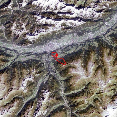
Lans, south of Innsbruck, belongs to the political district of Innsbruck-Land. It is situated along the Salzstraße Road on a terrace, which is rich in glacial morphology, and divided from the bottom of the Inntal by the Patsch Mountain. Lans, with a population of around 900, is the smallest village in the south-eastern Mittelgebirge region. Lans, linked with Innsbruck by a tramway line, soon became a popular climatic health resort and a popular summer holiday destination for rich families from Innsbruck. Several country houses and mansions still reflect this time. In recent times Lans has experienced a phase of overdevelopment. Lans with its popular lake is a well-liked recreation area for nearby Innsbruck. |