Tirol Atlas Archiv

tiroLexikon

^UP

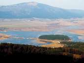
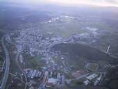
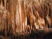
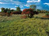
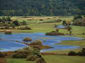
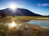
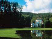
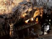
Bildersammlung »Notranjsko-kraška«

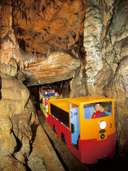
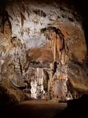
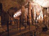
Notranjsko-kraška wird mitunter als die "dinarischste Gegend Sloweniens" bezeichnet. Sie liegt nur marginal an ihrem nördlichen Rand innerhalb des Gebiets der Alpenkonvention und stößt im Süden an die kroatische Staatsgrenze. Weiterlesen →

Tirol Atlas image No.°8626
Der See Cerkniško jezero wird im Frühjahr zur größten Polje Europas
Tirol Atlas image No.°11487
Verkehrsknotenpunkt Postojna/Adelsberg im Pivkatal
Tirol Atlas image No.°8632
Die Postojna Höhlen - ein Karstphänomen par excellence
Tirol Atlas image No.°8627
Eine geschlossene Vegetationsdecke zeichnet den sogenannten "bedeckten Karst" aus
Tirol Atlas image No.°8625
Der See Cerkniško jezero ist der größte Sickersee Europas
Tirol Atlas image No.°8624
Cerknica See
Tirol Atlas image No.°8633
Schloss Sneznik
Tirol Atlas image No.°8631
Die Postojna Höhlen, ein typisches Karstphänomen
Tirol Atlas image No.°8628
Postojna Höhle
Tirol Atlas image No.°8630
Postojna Höhle
Tirol Atlas image No.°8629
Postojna Höhle
Übersichtskarte
Topografische Karte
Weiterführende Links: Weblink »Wikipedia«, tiroLexikon