Tirol Atlas Archiv

tiroLexikon

^UP

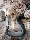
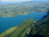
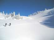
Bildersammlung »Isère«

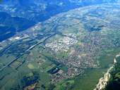
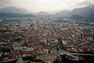
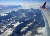
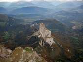
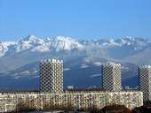
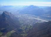
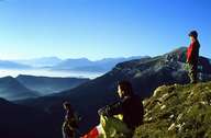
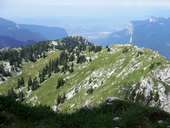
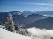
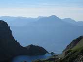
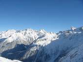
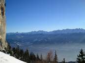
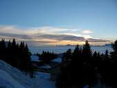
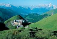
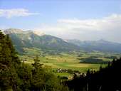
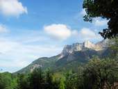
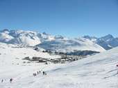
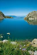
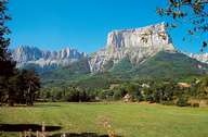
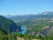
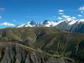
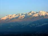
Zwischen Rhône im Westen und Pic Lory im Osten liegen 130km Luftlinie, 4km Höhenunterschied und mit 7.431km² Fläche die größte alpine Nuts-3-Region - Isère. Der Poet Paul Claudel beschrieb sie so: "Ich sah sie vor meinen Augen dahinziehen, vom Gold bis zum Schnee, von den Ernten der Ebene bis zu denen der Berge, und unter meinen Blicken öffnet sie sich wie die Seiten einer überwältigenden Partitur." Weiterlesen →

Tirol Atlas image No.°11199
Crolles im Grésivaudantal
Tirol Atlas image No.°11250
Grenoble bildet mit seinem Umland die größte Agglomeration der Alpen
Tirol Atlas image No.°11241
Chartreusemassiv
Tirol Atlas image No.°11227
Mont Aiguille (2.085m) - ein frei stehender Bergstock in der Dauphiné
Tirol Atlas image No.°10445
Gedrängtes Wohnen in Grenoble
Tirol Atlas image No.°11198
Grenoble mit dem Chartreuse Gebirge
Tirol Atlas image No.°10262
Wandern im Chartreuse Massiv
Tirol Atlas image No.°10256
Das Chartreuse Gebirge
Tirol Atlas image No.°10267
Das Chartreuse Gebirge
Tirol Atlas image No.°10255
Die Belledonne-Kette
Tirol Atlas image No.°10258
Die Belledonne-Kette
Tirol Atlas image No.°10263
Die Belledonne-Kette
Tirol Atlas image No.°10264
Die Belledonne-Kette im Hintergrund
Tirol Atlas image No.°10268
Das Schloss Notre Dame de la Salette
Tirol Atlas image No.°10265
Das Vercors Plateau
Tirol Atlas image No.°10253
Vercors - les Coulmes
Tirol Atlas image No.°10266
Der Wintersportort l'Alpe d'Huez
Tirol Atlas image No.°10257
Lac du Crozet
Tirol Atlas image No.°10259
Mont Aiguille (2.087m) im Vercors
Tirol Atlas image No.°10254
Die riesige Talsperre Monteynard staut den Fluss Drac
Tirol Atlas image No.°10261
Das Oisans gilt als eine der rauhesten Gegenden der Alpen
Tirol Atlas image No.°10447
Morgenstimmung in der größten Stadt der Alpen - Grenoble
Tirol Atlas image No.°10446
Fluss Isère in Grenoble
Tirol Atlas image No.°10448
Blick von der Bastille in Grenoble
Tirol Atlas image No.°10449
Die Symbole der Stadt Grenoble (Löwe) und des Flusses Isère (Schlange)
Tirol Atlas image No.°11197
Lac d'Aiguebelette
Tirol Atlas image No.°10260
Skitour im Chartreuse Gebirge
Übersichtskarte
Topografische Karte
Weiterführende Links: Weblink »Wikipedia«, tiroLexikon