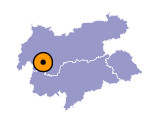
Image collection »Fagge«
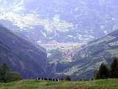
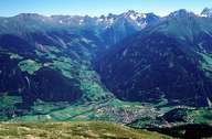
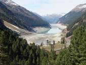
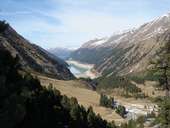
The Fagge has its source on the Gepatschferner, north of the Weißseespitze. It runs through the Kauner Valley till Prutz where it flows into the Inn. In its upper reaches its water is impounded in the Gepatsch Reservoir and later used to generate the turbines of the power station Kaunertal.
|
|
|
|
|
|
Further links: Hazards Chronicle Tyrol
